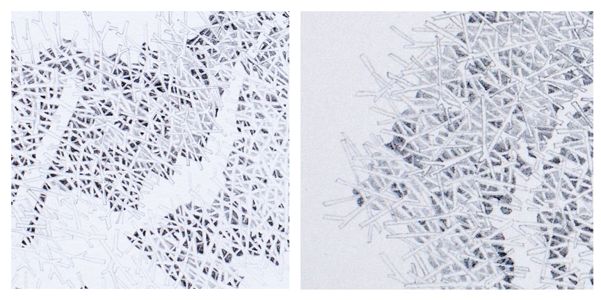
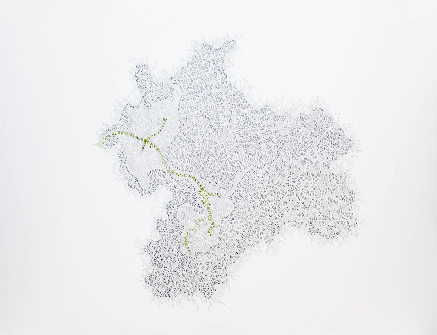
My Watershed Topography series is a group of drawings that present an alternative set of borders for familiar landscapes. Although appearing initially as abstract forms, these dense branching masses actually depict a bird’s eye view of hydrologic structures defined by rainfall and the flow of water across land.
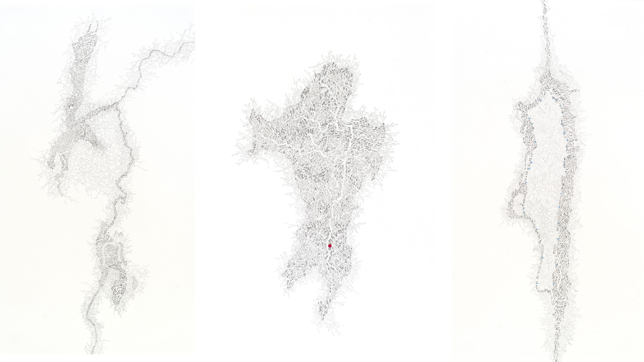
New York Harbor, 2009-10
graphite on paper
You Are Here (Hudson River Watershed at 41st Street), 2009-10
graphite on paper, magnet, acrylic paint
Calamity Brook/Henderson Lake, 2009-10
graphite on paper
all approximately 12 × 16 inches each, 16 × 20 inches framed
The Hudson River Suite is a set of three drawings based on the boundaries of the Hudson River Watershed, including its headwaters, estuary, and overall footprint. Each drawing is made up of a dense, interwoven structure of tributary-like forms, suggesting the extreme complexity of water systems and of ecological systems more generally.
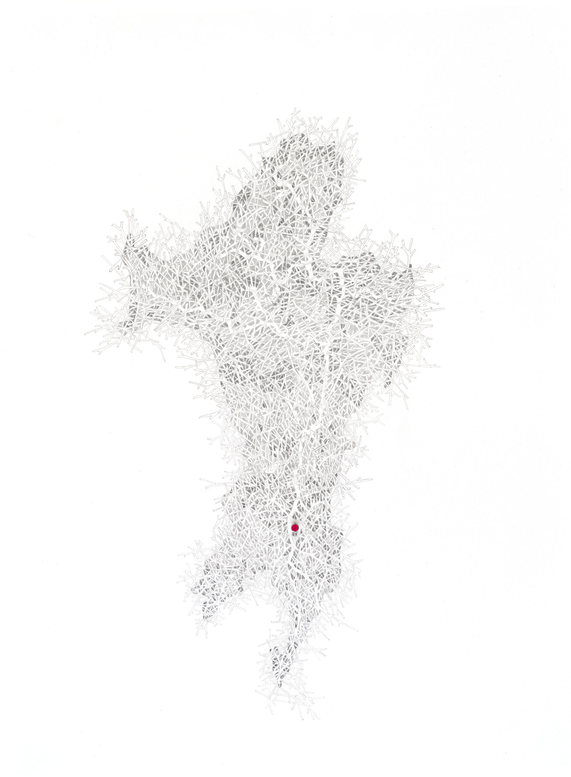
graphite on paper, magnet, acrylic paint
16 × 20 inches
Also in this series is a new group of works called the “Ghost Estuaries”. These drawings depict the historical footprint of tidal estuaries laid over their current, industrialized topographies. Included is a drawing that depicts the historic drainage basin of the Gowanus Canal laid over its current post-industrial structure. I am in the process of creating similar drawings of Newtown Creek and Flushing Creek based on historical maps and data provided by the Welikia Project and Wildlife Conservation Society.
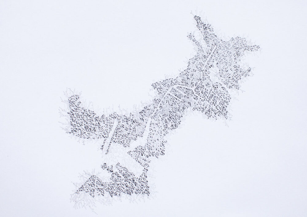
graphite on paper
16 × 20 inches
graphite on paper, native algae pigment
16 × 20 inches